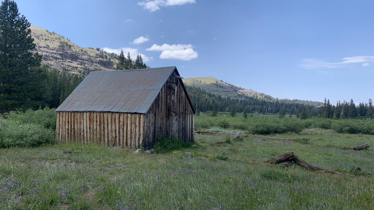
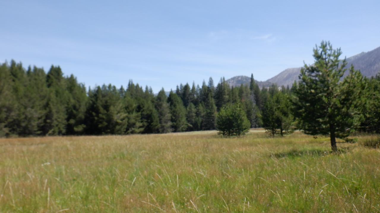
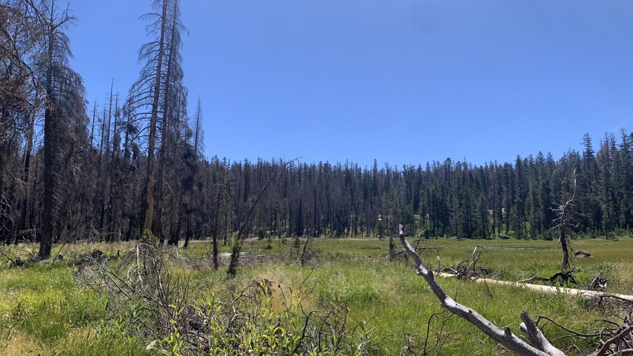
Photo Galleries
Strawberry Creek Images
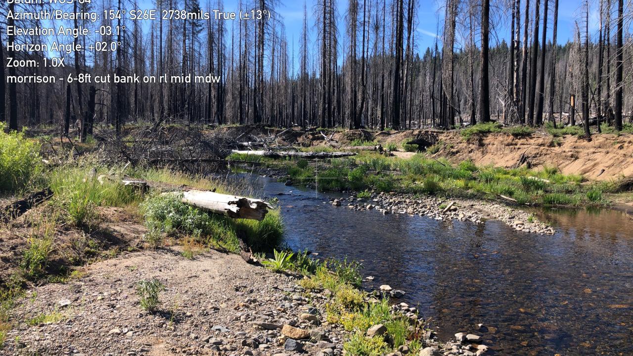
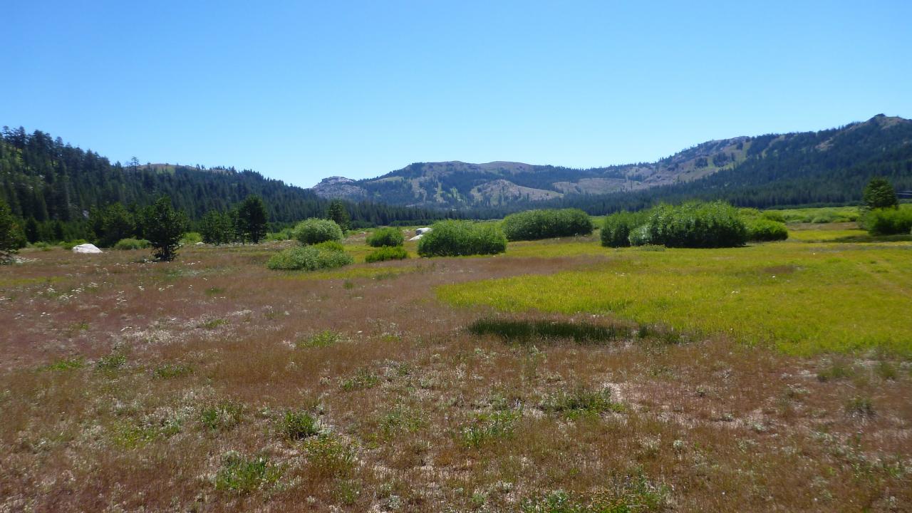
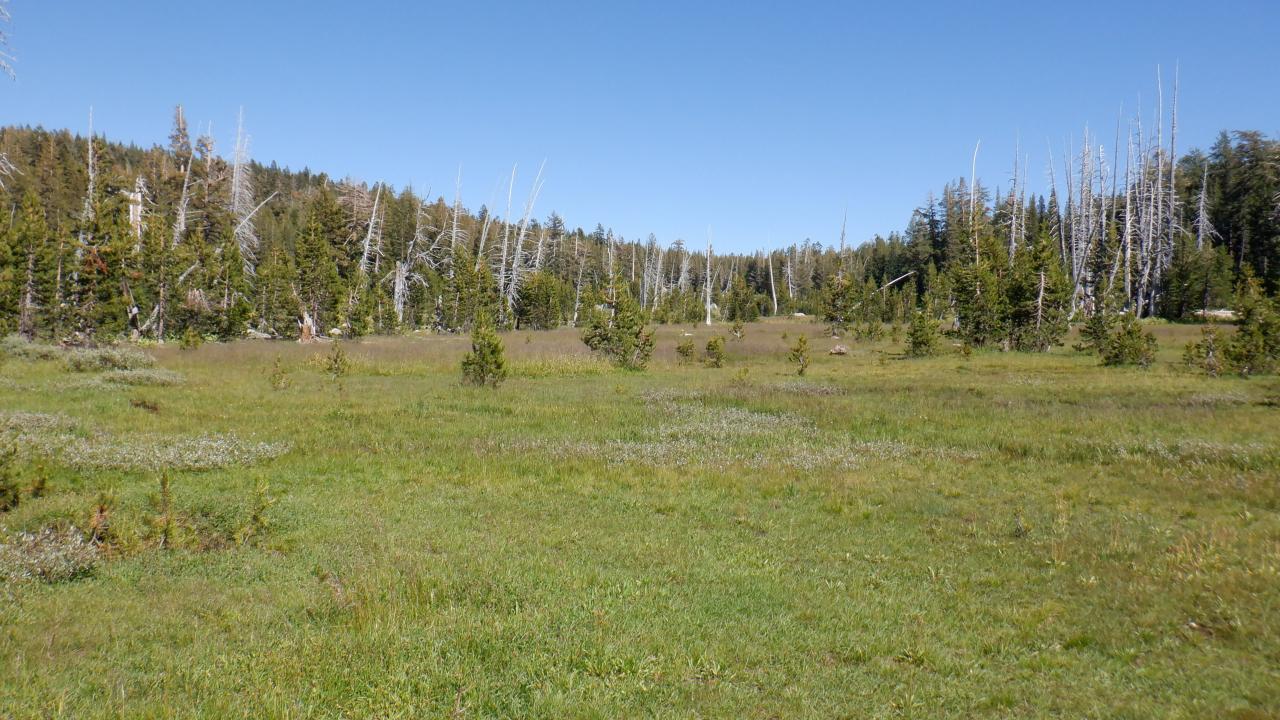
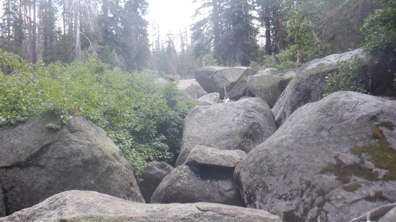
Morrison Images
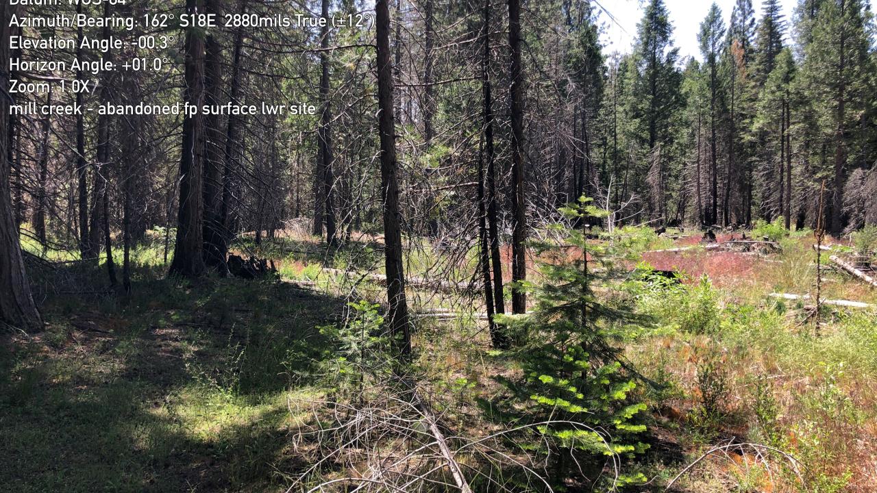
Mill Creek Images
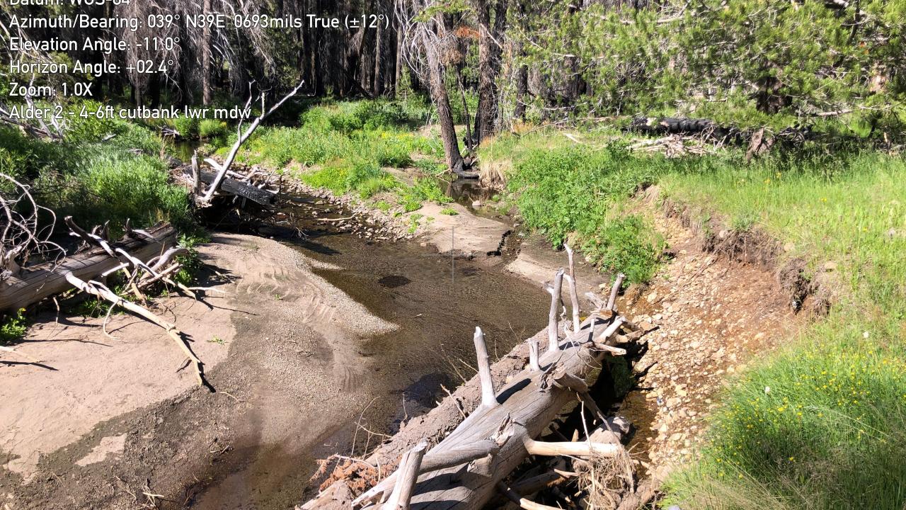
Alder 2 Images
Upper Strawberry Images
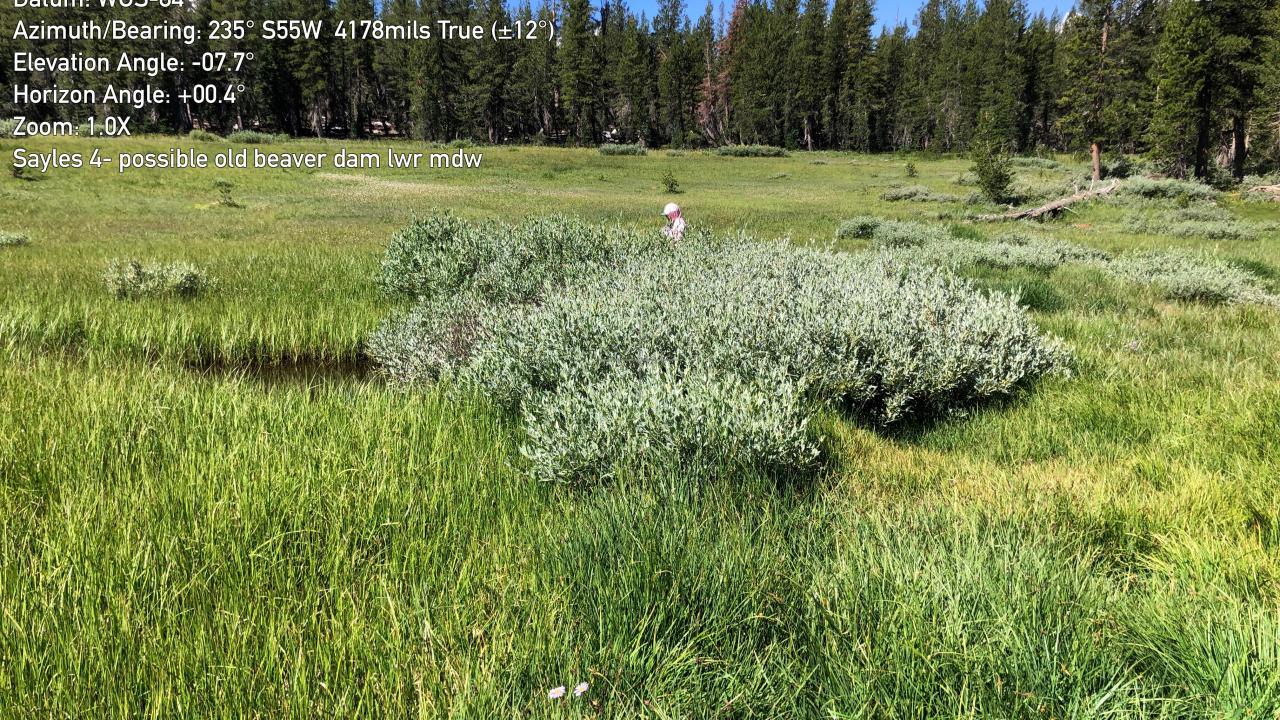
Sayles 4 Images
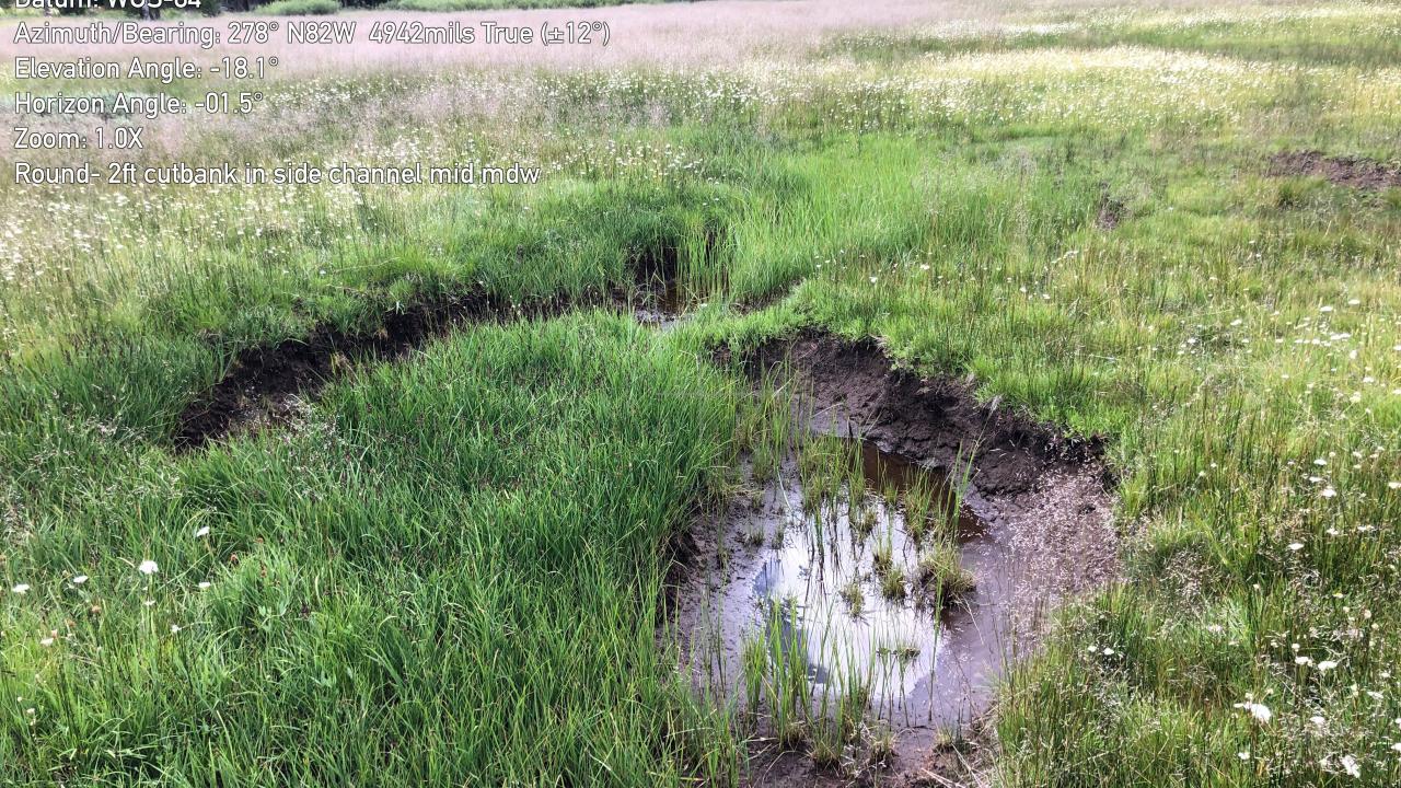
Round Meadow/Sayles 3 Images
Huckleberry Flat Images
Trout Creek Images
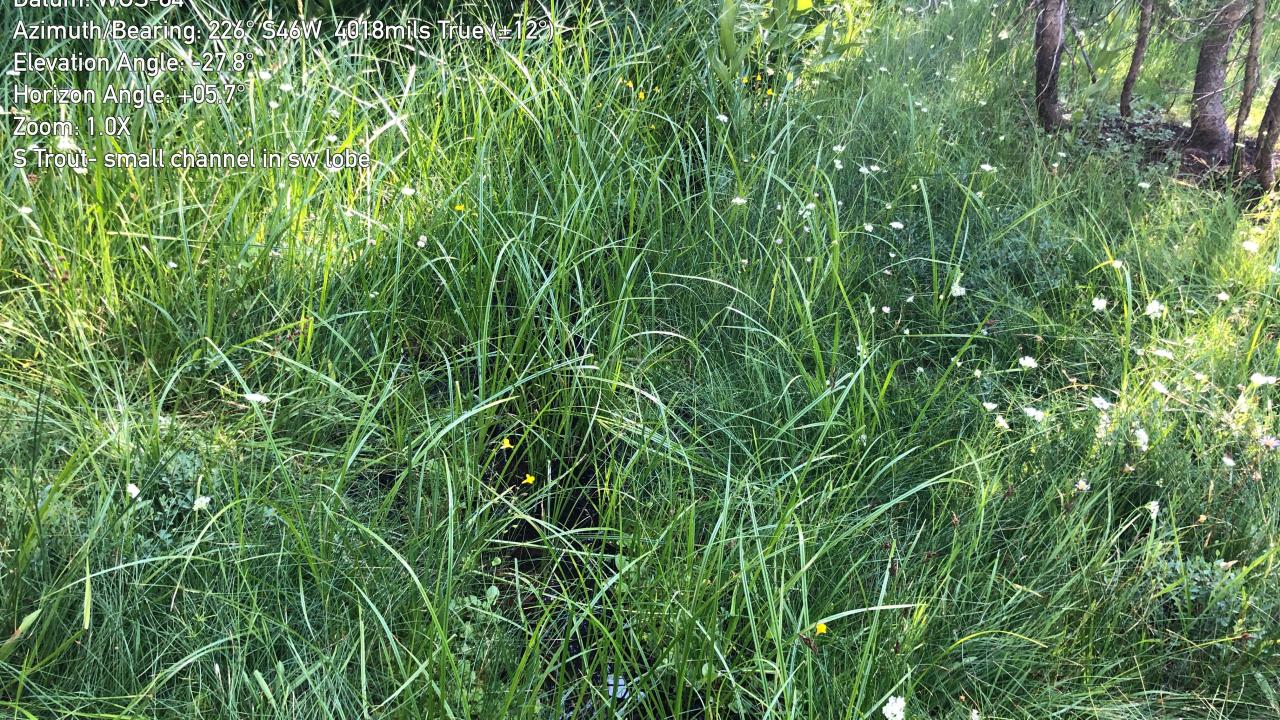
S Trout Creek Images
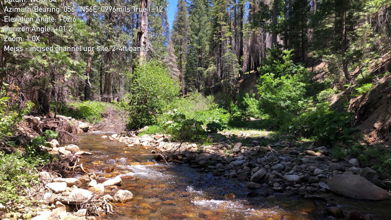
Meiss Lake Images
Lake Valley Images
West Forni Images
Upper Forni SW11 Images
Upper Forni 3 Images
Upper Forni 2 Images
Upper Forni 1 Images
Lyons Creek Images
Lower Forni Images
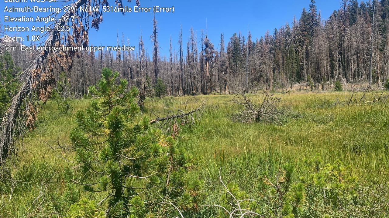
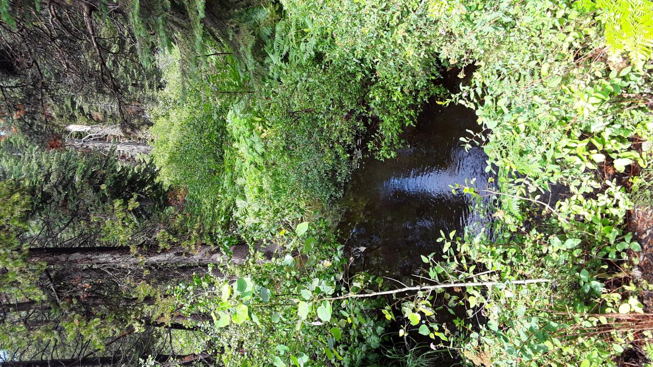
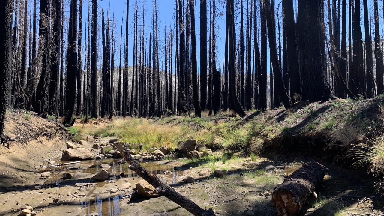
Forni East Images
Chimney Flat Images
Tragedy Creek Images
Silver Lake Images
Silver Fork Meadow Images
Schneider Camp Images
Martin Meadow Images
Lake Margarit Images
Kirkwood Meadow Images
Kirkwood Lake Images
Kirkwood Images
Jake Schneider Images

Hay Flat Images
Government Meadow Images
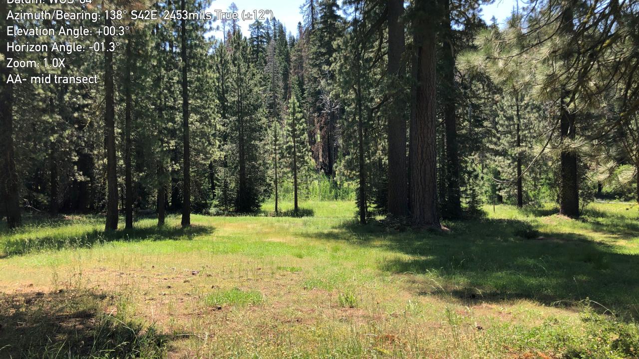
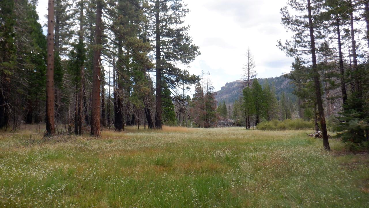
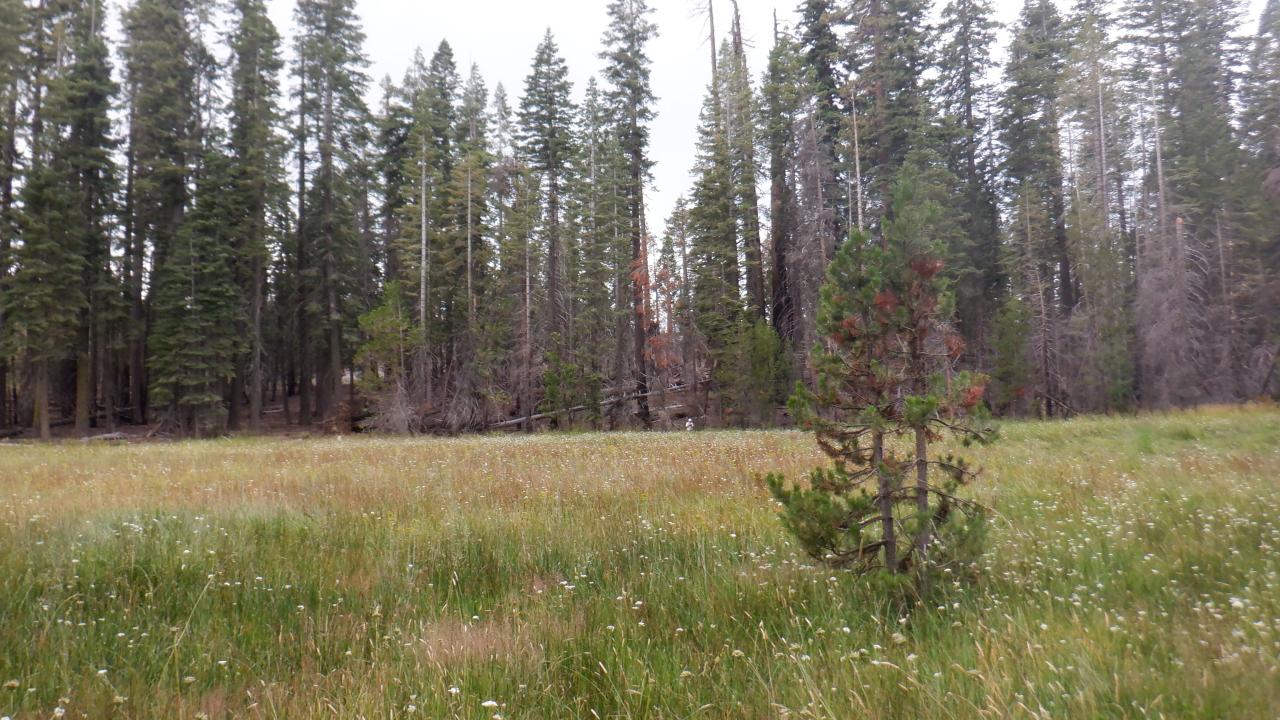
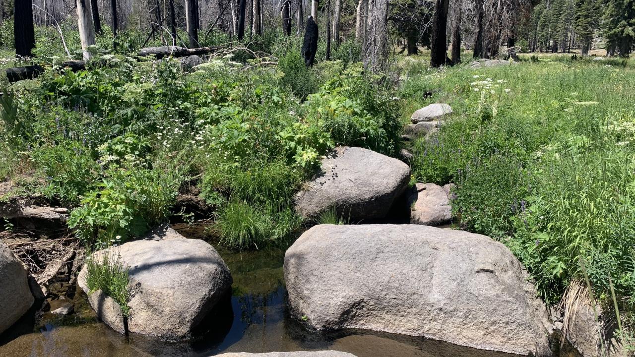
AA Creek Images
Willow Flat Images
Shaw Flat Images
Plum Creek Images

Pilliken Meadow Images
Meiss Creek Images
Shingle Mill Images
Grizzly Meadow Images

Elkins Flat Images
Big Canyon Meadow Images
UCDSNM013295 Images

UCDSNM013035 Images

UCDSNM013002 Images

UCDSNM013069 Images

UCDSNM012979 Images
UCDSNM012991 Images
UCDSNM012789 Images

UCDSNM012772 Images
Unnamed Meadow Northwest of Round Top Lake Images
Unnamed Meadow Northeast of Porthole Gap Images
China Camp Meadow Images
Prosser Creek Meadow Images
Sawtooth Meadow Images

Alder Creek Meadow Images

Donner Memorial Meadow Images

Jackass Meadow Images
Upper Sagehen Meadow Images

Hobart Mills Meadow Images

Sagehen Meadow Images
Stampede Meadow Images
Stampede-Boca Meadow Images

UCDSNM014611 Images
Prosser Dam Meadow Images

Russel Valley Meadow Images

Stampede Dam Road Meadow Images
Hoke Meadow Images
Dog Valley Meadow Images
Babbitt Peak Dry Meadow Images
Faith Valley Meadow Images
Lost Lakes Meadow Images

Middle Willow Creek Meadow Images
Forestdale Meadow Images
Rinney Meadow Images
English Meadow Images
Hot Springs Creek Meadow Images
Silver Creek Meadow Images
Waddle Ranch Meadow Images
Upper Perazzo Meadow Images
Middle Perazzo Meadow Images
Cold Stream Meadow Images

UCDSNM014718 Images
Independence Lake Meadow Images

Upper Independence Creek Meadow Images
Kyburz Flat Meadow Images

Unnamed Meadow #12 Images

Meathouse Meadow Images
Independence Lake Secret Meadow Images
Secret Meadow Images
Schneider Camp Meadow Images

Emigrant Valley Images
Kirkwood Creek Meadow #1 Images

Upper Fish Valley Meadow Images
Coyote Valley Meadow Images
Lower Fish Valley Meadow Images

Dumonts Meadow Images
Lower East Fork Carson Meadow Images

Long Valley Meadow Images
Poison Flat East Meadow Images
Falls Meadow Images

Poison Flat West Meadow Images
Pink Mine Meadow Images
Barker Meadow Images

UCDSNM014259 Images

Bacon Ranch East Meadow Images
Raymonds Meadow Images
Bacon Ranch West Meadow Images
Grover Hot Spring Meadow Images
Pleasant Valley Meadow Images
North Miller Creek Meadows Images

Bear Lake Meadow Images

Clear Creek Meadow Images
Miller Meadow Images
Sourdough Hill Meadow Images

Tom's Valley Meadow Images

UCDSNM014675 Images
Lacy Meadow Images
Warren Lake Trail Meadow Images

Coon Canyon Meadow Images

Sayles Canyon Meadow Images
Willow Creek Meadow Images

Poison Hole Meadow Images

Unnamed Meadow at Van Vleck Tells Peak Airport #1 Images

Unnamed Meadow at Van Vleck Tells Peak Airport #2 Images
Van Vleck Ranch Meadow Images
UCDSNM013944 Images
Unnamed Meadow Northeast of Cheese Camp Creek Images
Unnamed Meadow North of Highland Trail Images
Saddle Meadow Images
Ranz Dry Meadow Images
China Flat Meadow Images
Lake Doris Meadow Images

UCDSNM013798 Images
Wright's Lake Meadow Images
Unnamed Meadow West of Martell Flat Images
Round (2014) Meadow Images

Kirkwood Creek Meadow #2 Images

Bryan Meadow Images
Little Antelope Valley Meadow Images
McKenzie Cow Camp Meadow Images

Logan Springs Meadow Images

McCoy Flat Meadow Images
Shoestring Draw Meadow Images
Burgess Meadow Images
Lower Stephens Meadow Images

Upper Stephens Meadow Images
Williams Meadow Images
Barton Meadow Stringers Images
Big Wet Meadow Images
Grasshopper Meadow Images

False Cement Table Meadow Images
Grand Palace Hotel Meadow Images
Ranger Meadows Images
Cement Table Meadow Images
Grave Camp Meadow Images
Upper Deadman Canyon Meadow Images
Boggy Meadow Images
Upper Ranger Meadow Images
Unnamed Meadow West of Cody Meadow Images
Scaffold Meadow Images
Tom sears; Honeymoon Meadow Images
Little Sugarloaf Meadow Images
Long Canyon Meadow Images
Sugarloaf Meadow Images

Comanche Meadow Images
Cabbage Meadow Images
Upper Lewistall Meadow Images
Lower Lewistall Meadow Images

Ellis Meadow Images

Onion Creek Meadow Images

Pelham Flat Meadow Images
Round Meadow Images
Six Mile Valley Meadow Images
Sheep Camp Meadow Images
Meadow K Images
Upper Paradise Meadow Images

Willow Meadow Images
Highway 88 West Meadow Images
Lovelace Meadow Images
Lower Red Lake Creek Meadow
Upper Red Lake Creek Meadow
Upper Colby Meadow (Proper) Images

Colby Meadow Images
Upper Colby Meadows #1 Images
Upper Darwin Pockets Upper Colby Meadows #2 Images

McClure Meadow Images
Evolution Meadow Images
McGee Canyon Meadow Images

Wet Meadows Reservoir Images
Red Lake Meadow Images

Horsethief Canyon Meadow Images

Ellis Stringers Meadow Images
Sheep Pen Meadow Images
Ditch Meadow Images

Salt Log Meadow Images

Highway 88 South Meadow Images
Highway 88 North Meadow Images
Upper Log Meadow Images
Scenic Meadow Images

Sod Hole Meadow Images
Charlotte Lake Lower Meadow Images
Upper Paradise Valley Meadow Images

Lower Paradise Valley Meadow Images
Castle Domes Meadow Images
Granite Basin Meadow Images
Fallen Moon Meadow Images

Shortys Meadow Images
Vidette Meadow Images

Ferguson Meadow Images
Long Meadow Images
Moraine Meadow Images

Glacier Valley Meadow Images

Granite Pass Meadow Images

Upper Rattlesnake Canyon Images

Forester Lake Bench Meadows Images

Middle Rattlesnake Canyon Images
Cow Camp Images
Sixty Lakes Basin Trail Meadow Images